Promotional banner To Be here.
US

Category: Civil Site Design

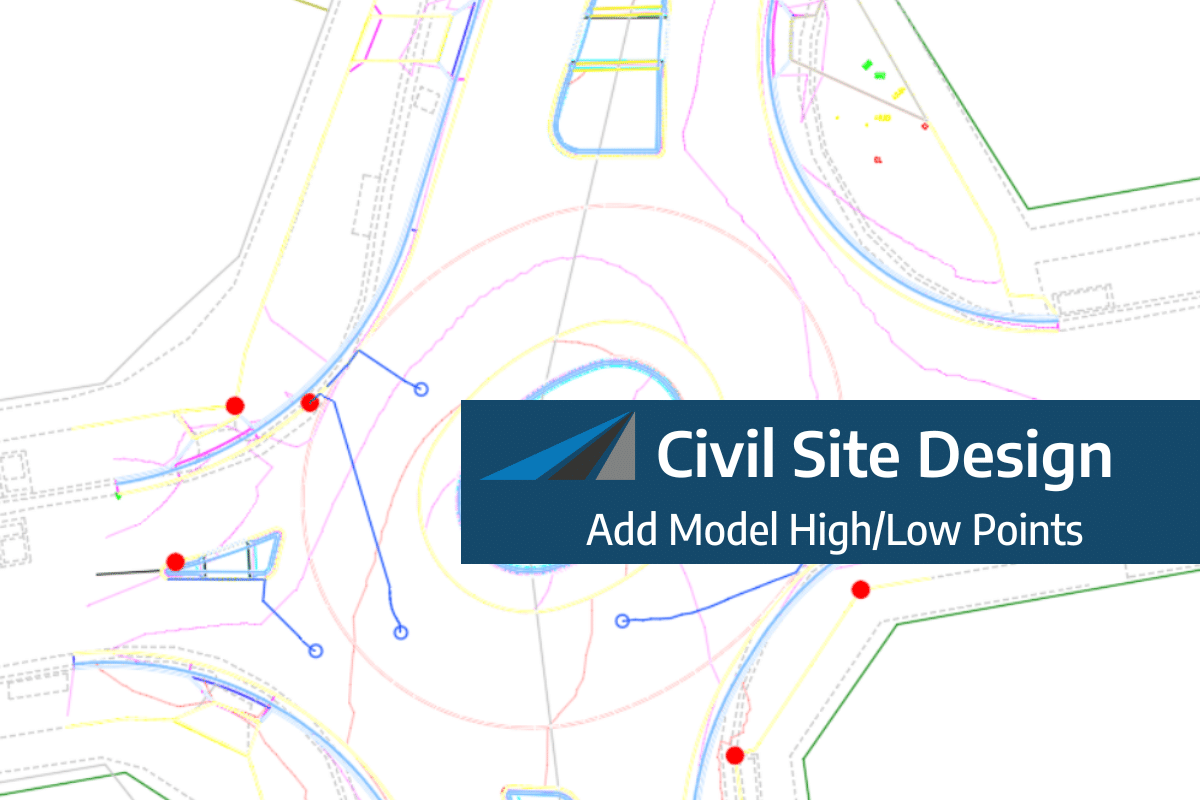
Add Model High/Low Points

Add Model High/Low Points

A major part of your design process is to identify low points and to either redesign to move/remove them or to include stormwater infrastructure to capture and redirect the flows.…

Read more
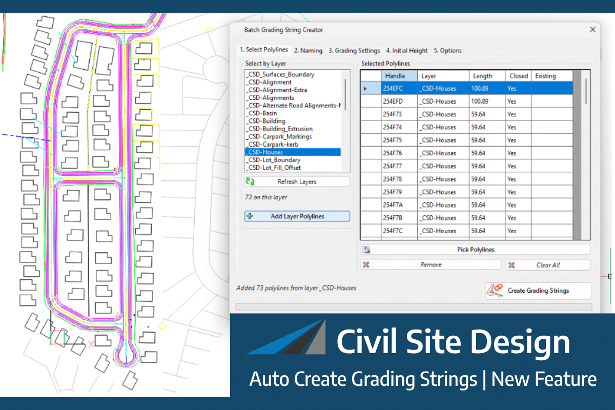
Auto Create Grading Strings | New Feature

Auto Create Grading Strings | New Feature

We’ve added a new tool to streamline the grading creation workflow: Auto Create Grading Strings. This tool automates the generation of multiple grading strings in a single, efficient operation. The…
Read more
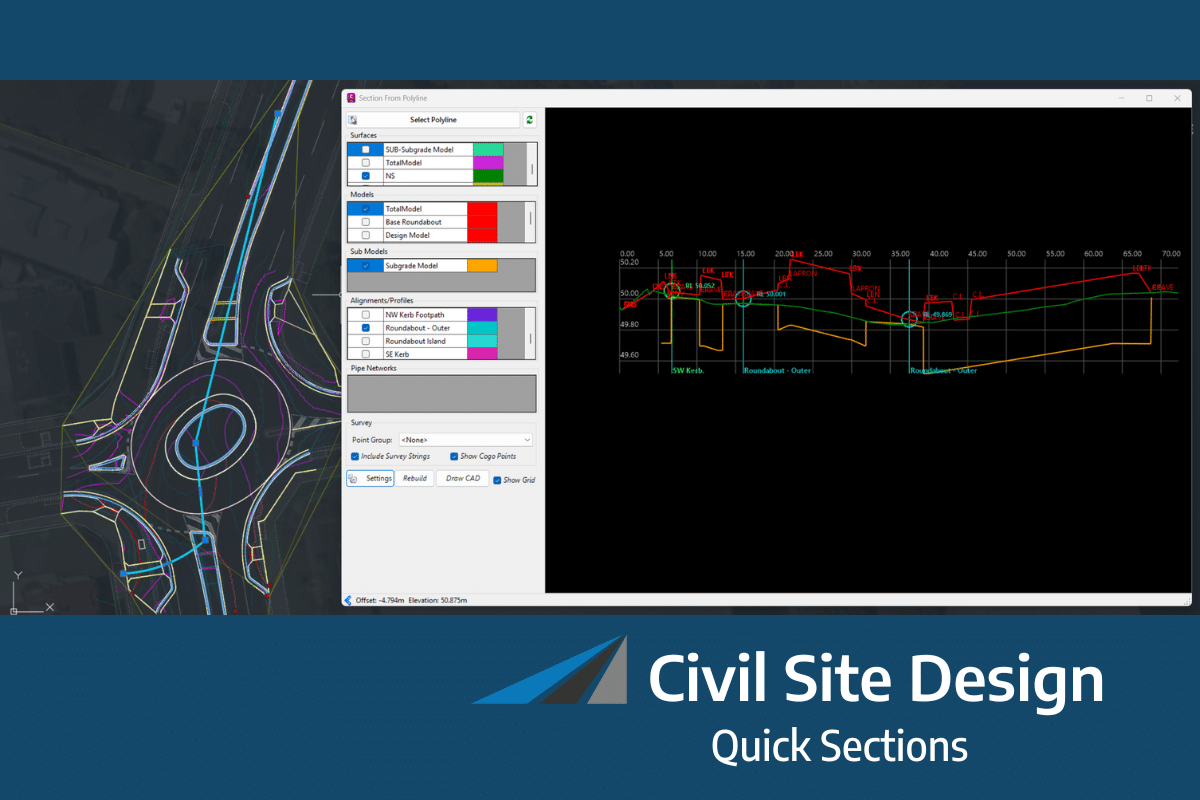
Quick Sections

Quick Sections

From V26.20 release you now have the ability to quickly extract a dynamic section view along any polyline. This allows designers to quickly visualise and review their designs without the…
Read more
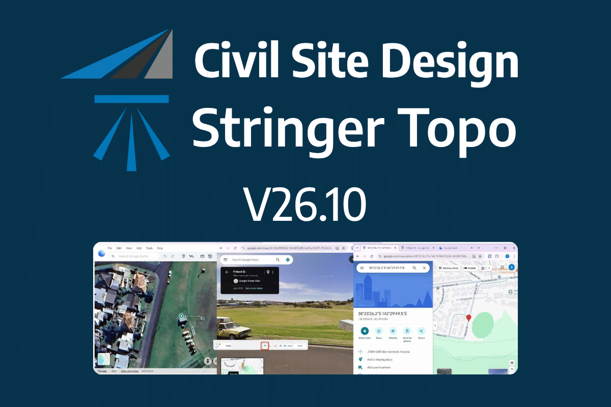
Civil Site Design and Stringer Topo V26.10 | Release

Civil Site Design and Stringer Topo V26.10 | Release

The latest releases of Civil Site Design V26.10 and Stringer Topo V26.10 are here! These updates focus on addressing customer-reported issues, improving pack mode performance, and introducing new features and efficiency…
Read more
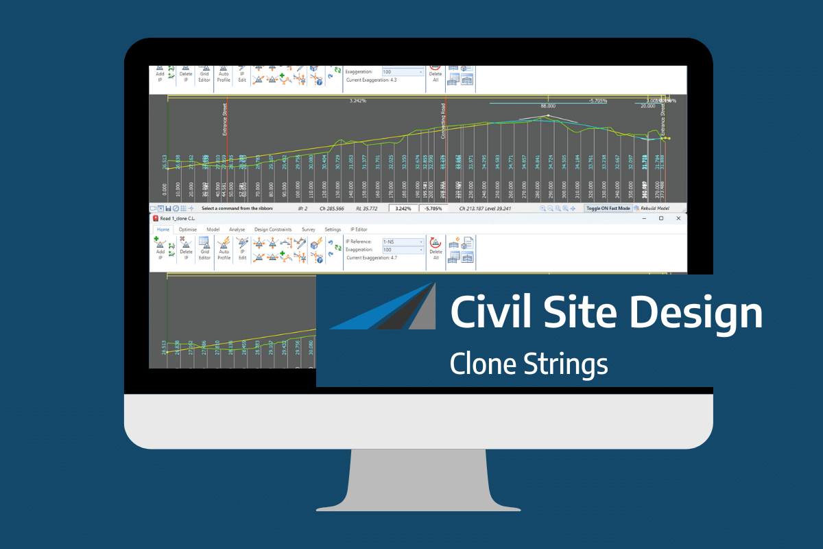
Clone String

Clone String

In the Civil Site Design v26 release for AutoCAD and BricsCAD, a new Clone String command has been added. This command allows users to create a clone of an existing string as…
Read more

Create Cogo Points by Alignment

Civil Site Design V26 introduces the new command Import Cogo Point File (by Alignment). This tool allows you to import a file that specifies chainage and offset along an alignment for…
Read more
Civil Survey Applications (CSA) bridges the gap between complex design and seamless drafting. Based in Australia and powered by a team of practicing civil engineers and surveyors, we develop industry-leading tools that sit directly inside Autodesk and Bricsys platforms—ensuring your workflow stays in one high-performance environment.

Copyright Civil Survey Applications 2026 | All Rights Reserved | Website Design by Fox & Lee