Our software is used across a variety of industries and sectors.
Land Development & Subdivision
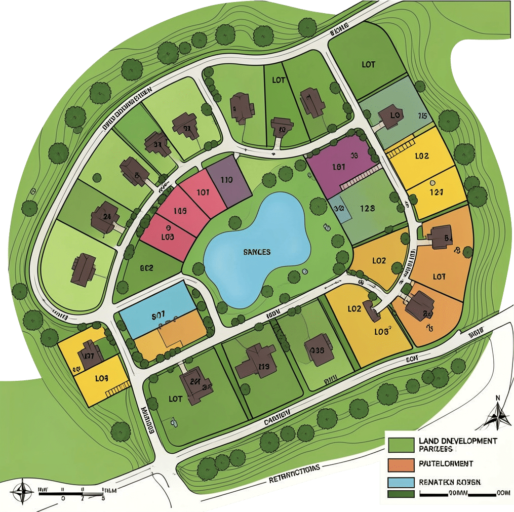
Applicable across a full range of project sizes, from infill sites to large-scale greenfield developments. Civil Survey Applications delivers an end-to-end subdivision design solution covering road layout, lot generation, drainage, and earthworks within Civil 3D, AutoCAD, and BricsCAD environments.
Project Assist AI automates subdivision road network design, significantly reducing design time from multiple days to a single working session.
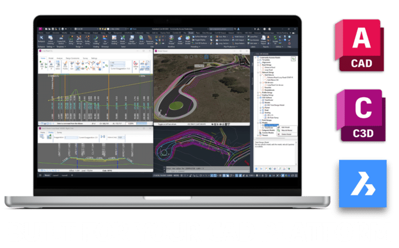
Experience Civil Site Design. Compatible with Civil 3D, autodesk and BricsCAD.
Our tools have been proven on single projects exceeding 19km, handling surfaces of over a million points without breaking a sweat. From urban collector roads and rural highways to grade-separated interchanges, our software gives designers full control over horizontal alignments, vertical profiles, cross sections and earthworks — all dynamically linked and updating as you design.
A comprehensive library of free Australian road templates, automated kerb returns, cul-de-sac tools and roundabout geometry mean less time drafting and more time on engineering decisions.
Local Government & Councils
Trusted by more than 120 councils across Australia, Civil Survey Applications software is purpose-built for the road reconstruction, drainage and civil infrastructure work that keeps the built environment running.
It plugs directly into Civil 3D, AutoCAD and BricsCAD — so your team works within familiar CAD workflows, meets local drafting standards and produces plot-ready documentation without the learning curve.
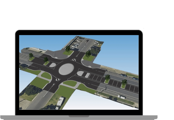
From a DDA-compliant pedestrian crossing in a coastal NSW town to a major roundabout in regional Victoria, councils across the country rely on our tools to get the job done right.
Surveying Professionals
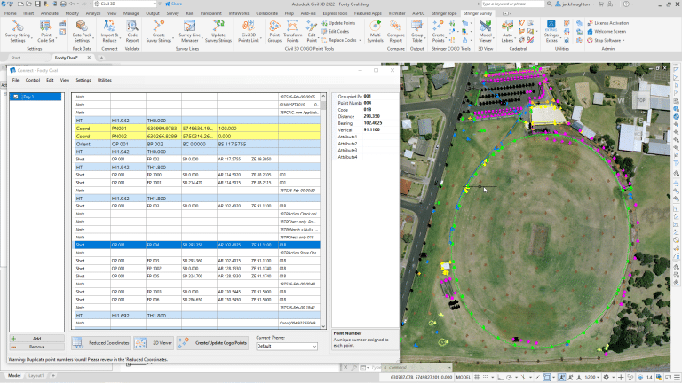
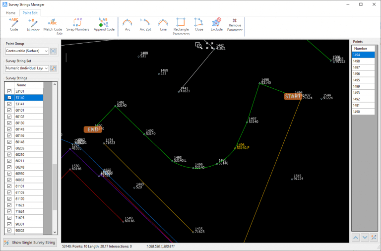
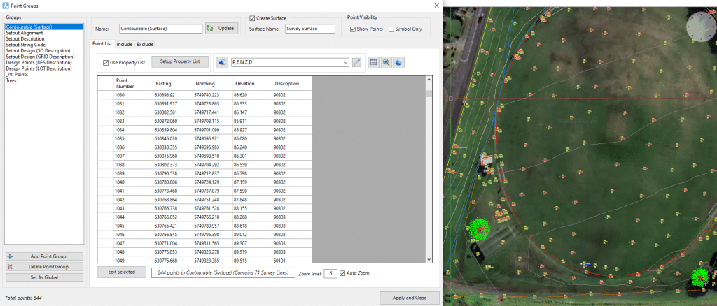
Stringer Survey is purpose-built for Australian land surveyors and survey drafters who need a fast, reliable field-to-finish workflow inside their CAD platform. Import raw observation files directly from Leica, Trimble, Topcon or Sokkia recorders, edit and adjust survey entries with graphical feedback, and push coordinated COGO points, automated breaklines and a finished surface to the drawing — all from within a single, streamlined interface.
Fix survey pickup errors that would normally take hours of manual drafting in a matter of minutes, with full audit trail and surface QA reporting built in.
Get In touch
Ready to transform your workflow? Contact our Melbourne or Sydney offices for software inquiries, partnership opportunities, or technical support.
Our Notting Hill office is located in Business Park Drive, just off Ferntree Gully Road. Free on-site parking is available in the business park.
Civil Survey Applications (CSA) bridges the gap between complex design and seamless drafting. Based in Australia and powered by a team of practicing civil engineers and surveyors, we develop industry-leading tools that sit directly inside Autodesk and Bricsys platforms—ensuring your workflow stays in one high-performance environment.