
Trusted by more than 120 councils across Australia, Civil Survey Applications software is purpose-built for the road reconstruction, drainage and civil infrastructure work that keeps the built environment running.
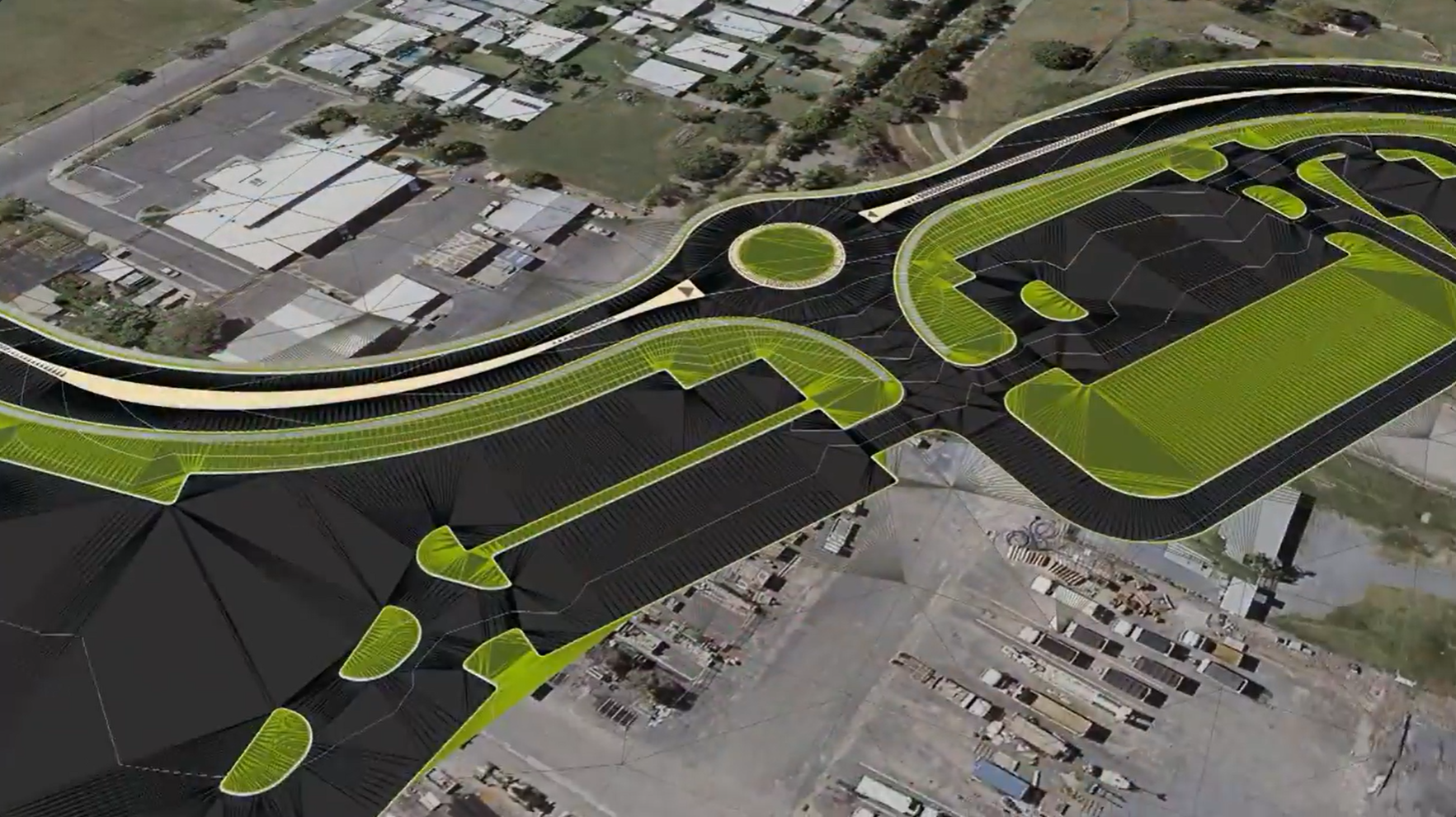



It plugs directly into Civil 3D, AutoCAD and BricsCAD, so your team works within familiar CAD workflows, meets local drafting standards and produces plot-ready documentation without the learning curve.
From a DDA-compliant pedestrian crossing in a coastal NSW town to a major roundabout in regional Victoria, councils across the country rely on our tools to get the job done right.
Placeholder text: how Civil Survey Applications supports road reconstruction projects, from existing surface capture to design, cross sections and plot-ready documentation.
Placeholder text: how the software handles rural roads, long corridors, table drains and culvert design.
Placeholder text: how pit and pipe networks, catchments and stormwater are designed and documented.


Copyright Civil Survey Applications 2026 | All Rights Reserved | Website Design by Fox & Lee