
Applicable across a full range of project sizes, from infill sites to large-scale greenfield developments, Civil Survey Applications delivers an end-to-end subdivision design solution within Civil 3D, AutoCAD and BricsCAD.
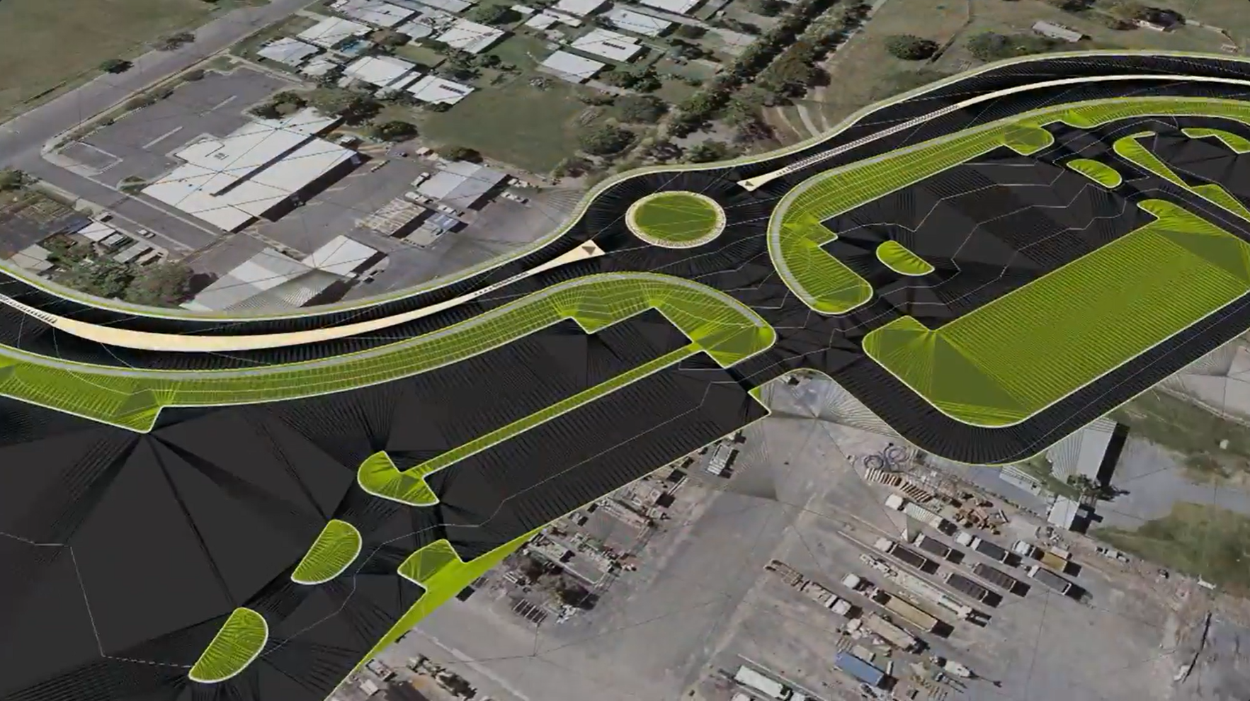



Project Assist AI automates subdivision road network design, significantly reducing design time from multiple days to a single working session.
Covering road layout, lot generation, drainage and earthworks, the software keeps every design element dynamically linked as the project changes.
Placeholder text: how road networks are laid out, graded and documented for subdivisions.
Placeholder text: how templates, kerb returns and cul-de-sac tools automate repeated design components.
Placeholder text: how earthworks volumes, batters and pad levels are calculated and updated as the design changes.
Placeholder text: how drainage and sewer networks are designed, checked and documented.


Copyright Civil Survey Applications 2026 | All Rights Reserved | Website Design by Fox & Lee