
Stringer Survey is purpose-built for Australian land surveyors and survey drafters who need a fast, reliable field-to-finish workflow inside their CAD platform.
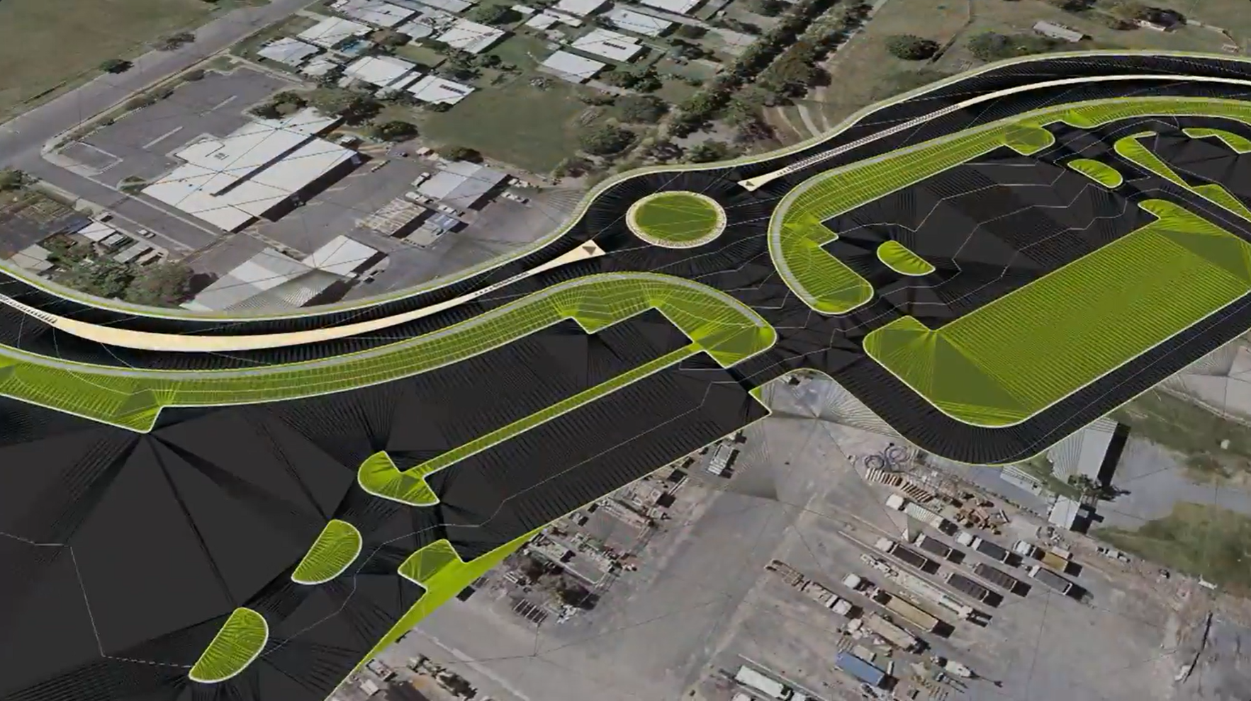



Import raw observation files directly from Leica, Trimble, Topcon or Sokkia recorders, edit and adjust survey entries with graphical feedback, and push coordinated COGO points, automated breaklines and a finished surface to the drawing.
Fix survey pickup errors that would normally take hours of manual drafting in a matter of minutes, with a full audit trail and surface QA reporting built in.
Placeholder text: how cadastral survey data is processed, adjusted and presented.
Placeholder text: how field data becomes COGO points, breaklines and a finished surface.
Placeholder text: how asset locations and attributes are captured and reported.


Copyright Civil Survey Applications 2026 | All Rights Reserved | Website Design by Fox & Lee