Promotional banner To Be here.

Created for Civil 3D production output, the Projected Profiles command addresses the challenge of integrating independently designed road features, such as parking bays or knuckles, into main road Civil 3D Profile Views.
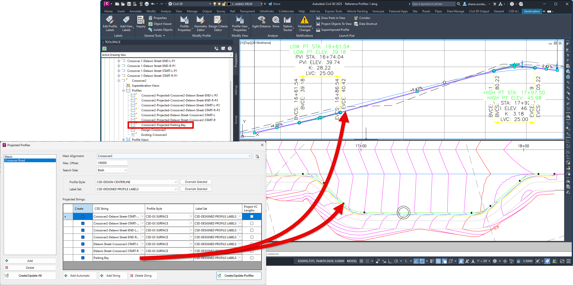
The Projected Profiles command provides users with the ability to project String designs onto the alignment of other Strings to create Civil 3D Profiles (projecting design Civil 3D Profiles onto another alignment). Unlike Civil 3D Superimpose Profiles, the Projected Profiles command projects the design IP’s onto the selected string, then added the vertical curves.
This vastly improves the labelling of the projected Civil 3D profile, by detailing the grade and vertical curve information rather than a tessellated approximation.
Common applications of this would be for designs where it is required to show the design profile for kerb returns that connect to a road, or there is an independent vertical design for the left and right side of the road that needs to be shown along with the design centreline on the same Profile View.
Key Features and Applications:



Copyright Civil Survey Applications 2026 | All Rights Reserved | Website Design by Fox & Lee