Promotional banner To Be here.

A new feature of Civil Site Design V26 is the Best Fit Alignment command. This command is available to AutoCAD and BricsCAD users and allows you to create an alignment based on Cogo Point or polyline data.
When the command is run, the Best Fit algorithm analyses the Cogo Points in the specified Point Group or the vertices of the selected Polyline and fits a series of tangents and curves to create a new Alignment that describes these inputs. The user is able to change the radii, curve detection and tolerance of the algorithm to refine the fit to the original data.
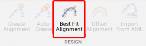
This command allows you to build a Best Fit Alignment using Cogo points or existing polylines. The command is available from the ribbon:
Alignments >> Design >> Best Fit Alignment
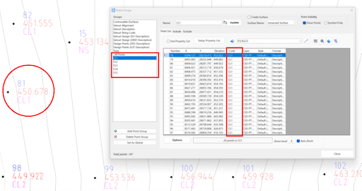
Before generating a Best Fit Alignment from Cogo points, create a point group of the points to use for the alignment creation.
Click here to learn more about point groups.
Once the Point Group for the alignment has been defined, run the Best Fit Alignment command and complete the follow:
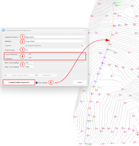
Once the Best Fit Alignment has been created, use the Edit Alignment command for further modifications.


Copyright Civil Survey Applications 2026 | All Rights Reserved | Website Design by Fox & Lee